
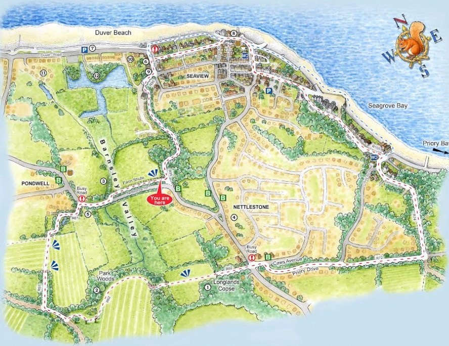
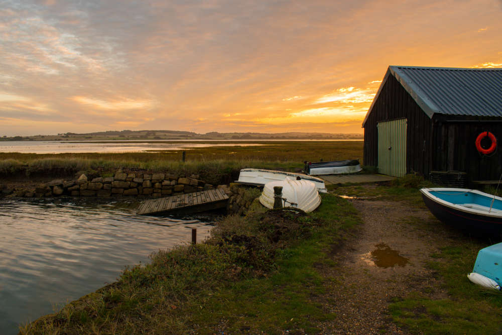
A 3.5 mile circular walk devised by Nettlestone & Seaview Parish Council to encourage residents and visitors to discover some of the footpaths and history of the beautiful Parish.
Start at the top of Nettlestone Hill where you'll find the Barnsley Trail board.
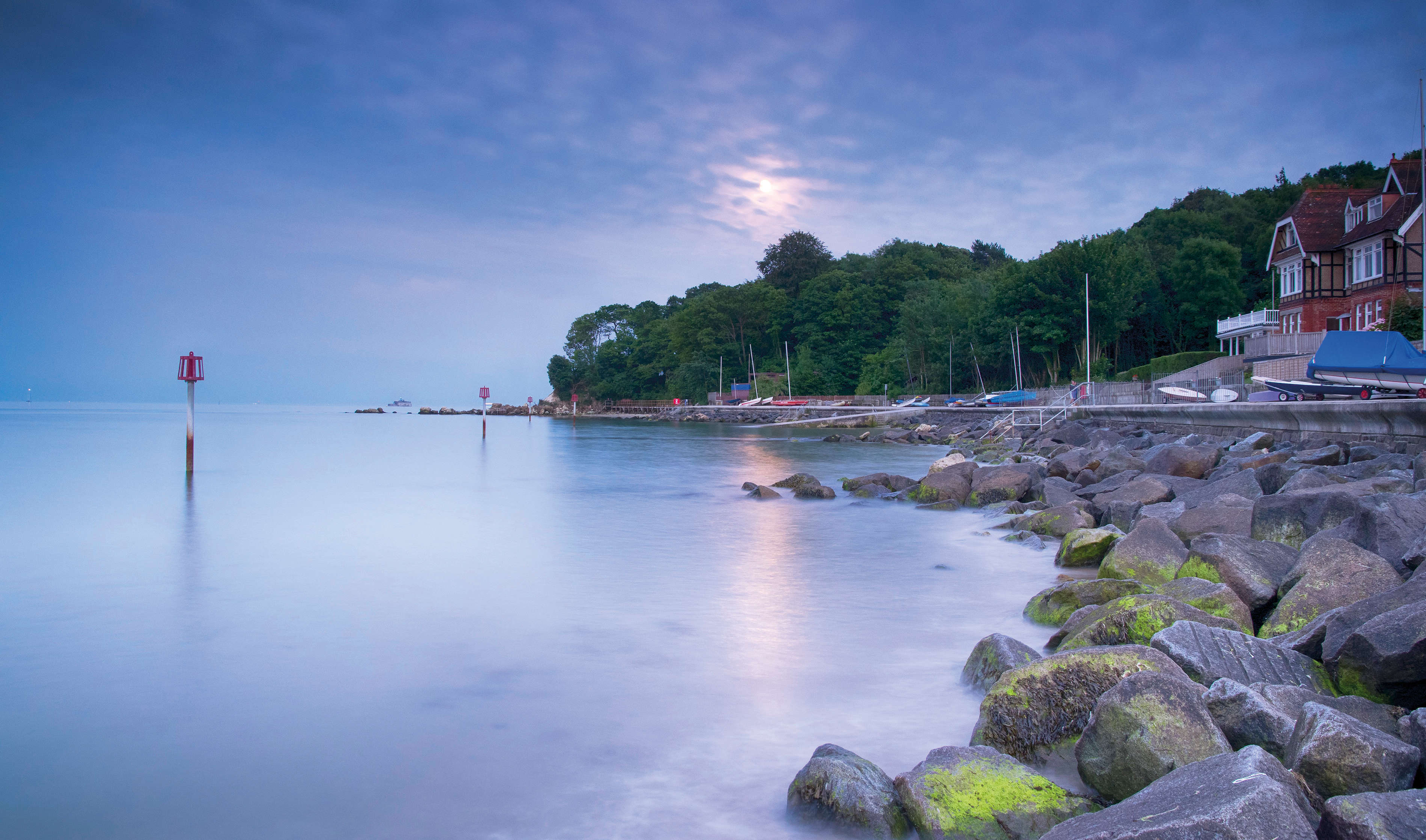
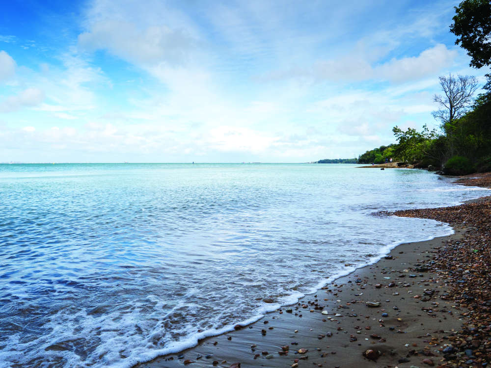
The walk can be muddy in the Barnsley Valley area. It is possible to follow the beach at low tide from Seagrove Bay to the slipway at Seaview High Street, but there are rocks and shingle in places so appropriate footwear is recommended.
Care should be taken with tidal conditions and the weather.
The History of The Barnsley Trail
In Roman times, from where you stand, the valley below would have been a coastal inlet reaching back as far as Longlands Copse (1) and Park Woods (2). Fresh water would have drained into it from the spring which rises near the Copse, and Dragontail Stream which starts in St Helens. Over time, as the sides of the inlet silted and the sea retreated the two fresh water sources joined to form the Barnsley Brook (3) which still drains into the valley floor. Eventually an embankment was built and most of the land behind The Duver was reclaimed.
Duver (pronounced like cover) is an Isle of Wight dialect word, dating back to pre-1774 for a low lying piece of coastal land, subject to occasional inundation by the sea.
In 1086, both Barnsley (Benverdeslei), and Nettlestone (Hoteleston) were recorded in the Domesday Book as manors with ploughland and workers, taxable by King William (the Conqueror). Nettlestone (1) the settlement behind you, was one of the smallest to be listed.
In the medieval era, the Barnsley valley was still open to the sea and developed as a harbour with works stretching out to sea and enough depth in the creek for quite large vessels to reach Pondwell, where a watermill (B) once stood, bringing corn and leaving with flour.
In 1545 the French invaded English waters. The Battle of the Solent is most remembered for the sinking of the Mary Rose, but here it is remembered because as the French retreated they sailed into Barnsley Creek where the crews landed and set fire to houses in Nettlestone.
Although the entire Island population was only about 9,000 Richard Worsley Captain of the Isle of Wight militia, had an army of 6,000 under his command. Everyone on the sand had compulsory training, with women often fighting as archers. The French invaders were said to have been driven back by archers hidden in the woods you will be able to see to your right.
Salterns Cottages (B) date back to 1640, by which time the creek had silted up sufficiently for salt panning to commence.
By the mid-18th century, salt-making in Hampshire and the Isle of Wight reached its peak. In 1790, James Kirkpatrick, a Newport banker purchased the cottages along with the saltpans and the marshes.
In the winter, men maintained the raised embankment, now Duver Road (7) and the series of sluices required for the summer salt making season. The salt industry continued until 1819. In 1806 the land called Outer Cliff or Fort Ground (8) was sold to the Caws famiy and the village of Seaview started to develop. By the early 20th century it had become a popular resort and rich visitors would race their cars on The Duver. The embarkment was a private toll road until 2000. The valley was rented for pasture-based farming.
Cows were milked where The Dairy Bungalow now (9) stands on Pond Lane and until the 1950s the hay meadows were harvested annually. When the farm was sold in the 1960s, sand was extracted and used in the construction of Salters Village (10) and Tollgate Cottages (11) creating ponds or lagoons on the valley floor.
The fields in front of you are still used for raising cattle and in winter they become a roosting site for a flock of naturalised Barnacle Geese.
In 2003 when a new sea wall was constructed, the valley floor was designated both as an internationally recognised RAMSAR wetland and a national Site of Special Scientific Interest, and the Hersey Nature Reserve (12) was created. It was named after Cllr. Alan Hersey who first proposed the creation of the Barnsley Trail. One area of the Reserve is open to the public and the entrance is on Duver Road.
 February Fiction to Enjoy this Month
 The Wizard of Oz a 'Visual Feast'
 A Circular Walk to Woodside Beach
 Four Books to Tuck in to This New Year
 "Fabulous, Funny and Festive": Snow White Arrives at Mayflower Theatre
 Walking with Nordic Poles
 Chaotic Fun at This Year's Pompey Panto
 An Interview with Southampton Panto Star Christopher Biggins
 All Aboard as The Kings Theatre Portsmouth Launches 2023 Panto
 October Puzzle Solutions
 Walking the Isle of Wight: Wroxall Woodland
 Four Books to Read on the Beach
 Interview: The Drifters Girl Arrives in Southampton
 Just the ‘Golden’ Ticket: Charlie and the Chocolate Factory Arrives in Southampton
 Step Back into Cowes Past at 'School Days' Exhibition
 Walking the Island: Newtown Creek
 Five Early Summer Reads to Enjoy in the Sunshine
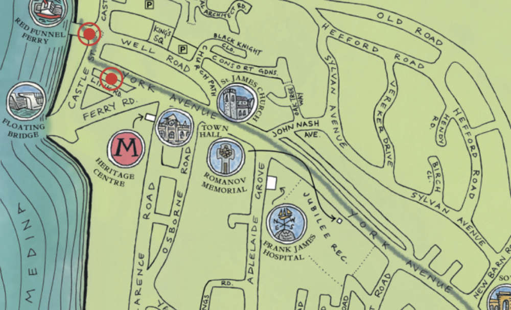 Walking the Isle of Wight: Queen Victoria’s Town Trail
 Book Reviews: From the Page to the Mind
Comments
Add a comment